
GPS-stamped photo, defined: a photograph carrying the location of capture, either burned into the image as visible coordinates and an address, or written into the file's metadata.
A GPS-stamped photo is a photograph that records where it was taken. The location can appear as a visible overlay in the corner of the frame (latitude, longitude, an address, often the date and time as well), or it can sit invisibly in the file's location fields, which is the practice known as geotagging. Many stamp-camera apps do both.
The definition matters because the two forms fail in different ways, and neither on its own proves what people use them to prove: that this photo was taken at this place.
How a GPS-stamped photo works
The phone's location service resolves a position from GPS, cell towers and nearby Wi-Fi, and the camera app reads that position at the moment of capture. From there one of two things happens:
- Metadata stamp: the coordinates are written into the image file's EXIF data alongside the device model, capture time and camera settings. Invisible in the picture, readable with any metadata viewer.
- Visible stamp: the app draws the coordinates, a reverse-geocoded address, the date and sometimes a small map onto the pixels of the image. Readable by anyone, including a reviewer looking at a printout.
Field teams, contractors and insurers like the visible stamp because it survives being forwarded. Messaging apps and email clients routinely strip metadata, so a geotag sent over WhatsApp arrives with no location at all. The burned-in stamp travels with the pixels.
Why a visible GPS stamp is weak proof
Three things are true of every visible stamp. The app that drew it will usually let the user type the address, adjust the pin or set the time by hand. Any photo, including an old one from the gallery, can be opened and stamped after the event. And a stamp is just text on pixels, so a screenshot, a crop or a basic editor can produce a photo with any address the author wants. The stamp says "this app wrote this location on this image"; it does not say where the photo was taken.
The metadata form is only slightly stronger. Location fields can be edited with free tools, the phone's position can be spoofed with a mock-location setting, and a photo saved from a screen has no capture metadata at all. Metadata is useful context, and it is not a verdict.
GPS-stamped photo example: a gutter clearance on a block of flats
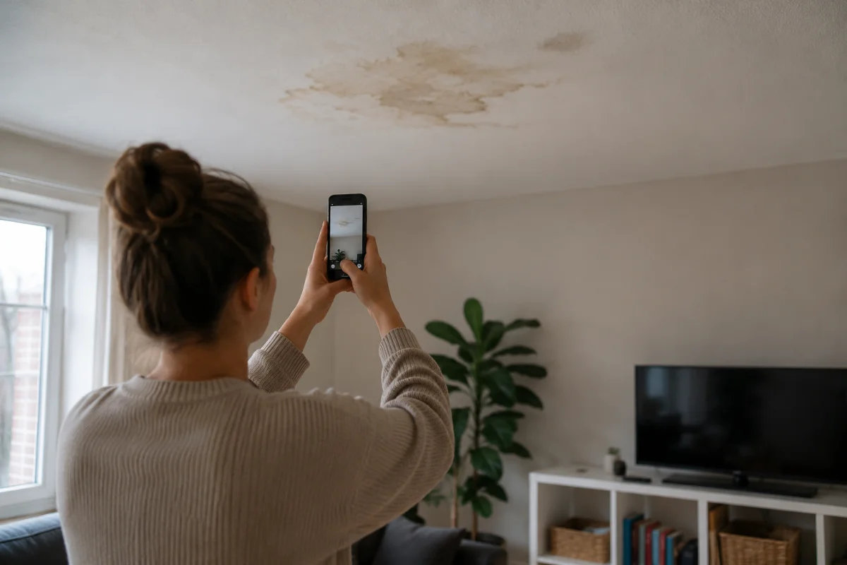
A property manager pays a contractor to clear the gutters on a three-storey block. The invoice comes with four stamped photos: gutters full of leaves, then clear, address and coordinates printed on each. Six months later the top-floor tenant reports water ingress and the manager asks whether the job was done at all. The stamped photos show the right address, and they also show a stamp the contractor's app could have added to any picture. The manager cannot tell.
Had the contractor recorded the job through a guided link, the case would hold the location the receiving system observed during the session, the server's receipt time, and a fingerprint of each file taken on arrival. The manager could then check whether the session location matched the block and whether the files were unchanged since receipt, which is a different kind of answer.
What a sealed capture adds
A sealed submission moves the location record from something the submitter's app wrote to something the receiving organisation observed. Recording happens inside the session rather than by uploading a gallery file, the position is checked against the session at capture, the receipt time comes from the server clock, and each file is hashed so any later change is visible. The result is tamper evident: nobody can prove a photo was never edited, but a reviewer can prove it has not changed since it arrived, and can see whether the location signals agree with the claim.
Two honest limits. Location verification is a signal for a human to weigh, not proof on its own, and when a submitter declines location sharing that is recorded as neutral rather than as suspicion. A sealed photo with a matching location can still show a staged scene.
What it does not do, and the mistakes teams make
It does not prove when an event happened, only where and when a photo was captured or received. It does not identify the subject: coordinates put a phone at a postcode, not a specific gutter. It does not survive a screenshot in its metadata form.
The recurring mistakes: reading the printed address as verification; accepting forwarded images and wondering where the geotag went; treating a declined location as a fraud indicator; and asking for "a photo with the location on" instead of guiding the capture so the right subject is in frame. See guided photo capture for the difference that guidance makes.
Venta Capture, a product of VentaVid, records location as part of the session rather than as a stamp on the image: the participant is sent a link, follows guided steps in the mobile browser with no app, and the submission arrives timestamped, location-checked and sealed for review. More at the Venta Capture pages.
In practice: see how insurers use Venta Capture for remote claim inspection.